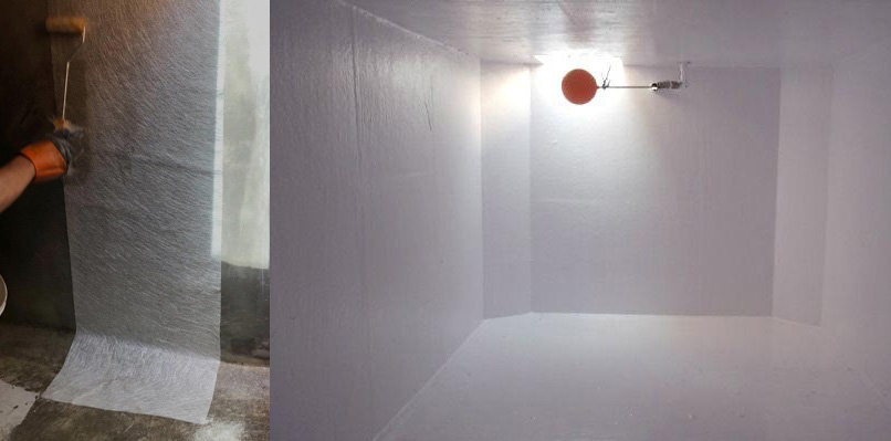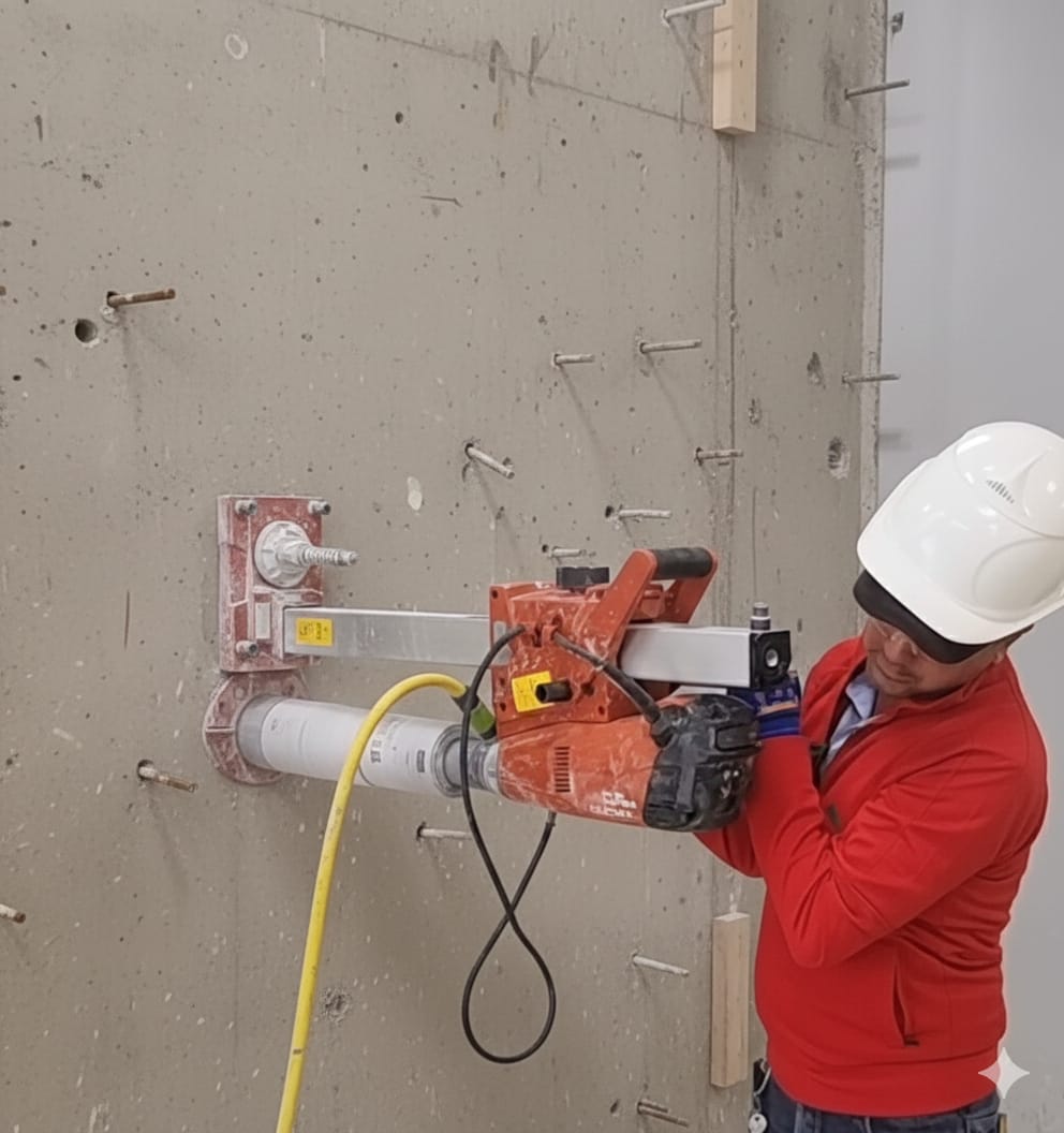
LAND SURVEYING
What is Land Surveying?
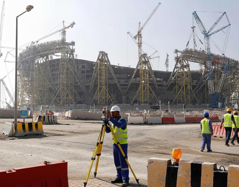
Land Surveying is the precise art and science of determining the three-dimensional positions of points and the physical features of the Earth’s surface. It involves meticulous measurement and data collection using specialized tools and mathematics. Surveyors provide the essential, legally definitive data that underpins all land development, infrastructure, and real estate transactions.
Core Survey Services We Provide
We offer a full range of land surveying services critical to successful projects in Qatar.
Demarcation Surveys: Defining the exact, legal limits and corners of a property. Essential for legal title, sales, and avoiding encroachment disputes.
Topographic Surveys: Mapping the natural and man-made contours, elevations, and features of a site. Critical data for architects and engineers designing drainage, grading, and building placement.
Construction Layout Surveys (Staking): Transferring planned designs (roads, foundations, utilities) from blueprints onto the ground to guide the construction crew, ensuring precision and compliance.
Stock pile Volume/Quantity Surveys: Calculating precise material quantities for earthworks, excavations, and stock monitoring.
As-Built Surveys: Recording the precise location and dimensions of structures and utilities as they were actually constructed, vital for documentation and future maintenance.
Technology and Precision
In the fast-paced development environment of Qatar, precise surveying is crucial. We ensure legal certainty, design accuracy, and risk mitigation for your project, making us the foundational partner for successful development. We leverage the latest technology, including Total Stations, high-precision GNSS/GPS, and 3D Laser Scanning (LiDAR), to guarantee accuracy, timely delivery, and compliance with all local regulations.